|
|
|
|
|
|
| April 18, 2024 |
|
New earthquake model shows 'significantly increased ground shaking' in 2 Bay Area locations 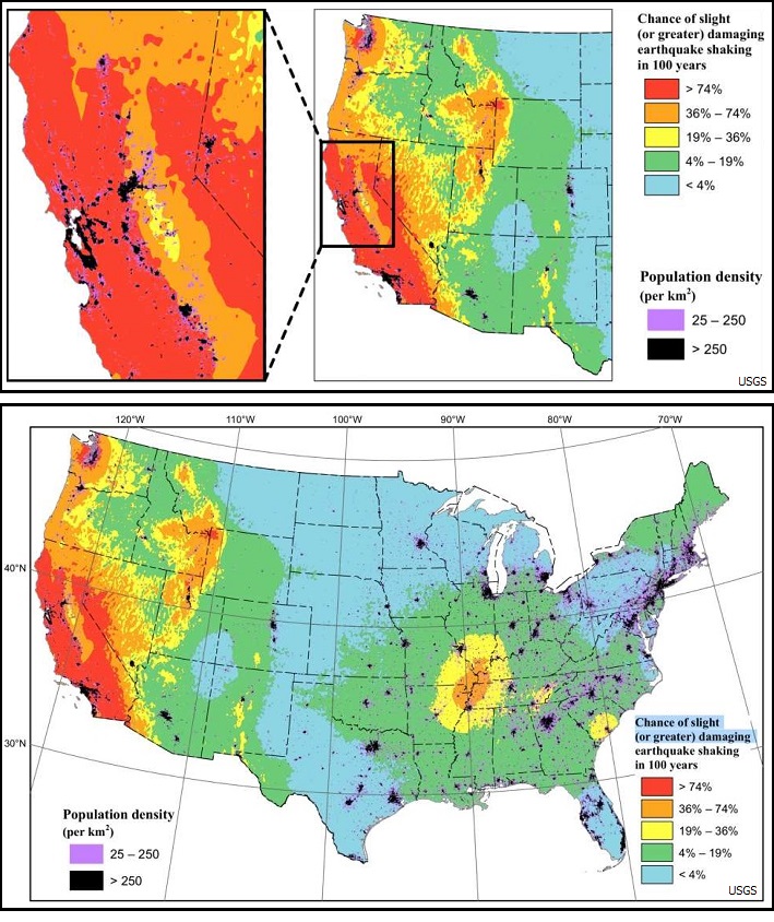
SAN FRANCISCO - The United States Geological Survey released a new U.S. Seismic Hazard Model Thursday that incorporates the latest earthquake findings for the lower-48. In the Bay Area, it shows the potential for "significantly increased ground shaking" in San Jose and Walnut Creek at a higher level than previous studies.
The model is created by pulling research from government, academia and industry to create a map that can predict "where future earthquakes might occur, how often the earthquakes happen, how big the earthquakes might be, and how strongly the ground could shake," according to the USGS. A new model is released every six years, and for this latest version, researchers took a closer look at the San Francisco Bay Area and locations built on deep basins, areas where soft sediment up to 1.5 miles thick rests on top of solid rock. "There are sediments that underlie the San Francisco Bay Area that are several miles thick," explains Mark Petersen, chief of the national seismic hazard modeling project. "When an earthquake ruptures, it modifies waves, increasing the amplitudes. The energy is propagated into the deeper part of that San Francisco Basin and it causes amplification of the long wavelength. These waves have a strong influence on tall buildings and long-span bridges. Weve been trying to improve this part of the model." Another way to understand how an earthquake impacts a deep basin is to "imagine a deep bowl of jelly and what happens when you shake it," says USGS geophysicist Alison Shumway, who works in the Geologic Hazards Science Center. This information is used by engineers and officials developing seismic codes for everything from bridges and roadways to skyscrapers. Petersen says the changes in the Bay Area map are "significant" for engineers designing buildings and infrastructure. The new findings from the basin don't impact downtown San Francisco, as the city is located to the side of a deep basin and the sediment under the city is very thin. "This particular new aspect deals with structure that overlie the deepest parts of the San Francisco Bay sedimentary pile," he says. (Source: San Francisco Gate) Story Date: December 15, 2019
|
      |